
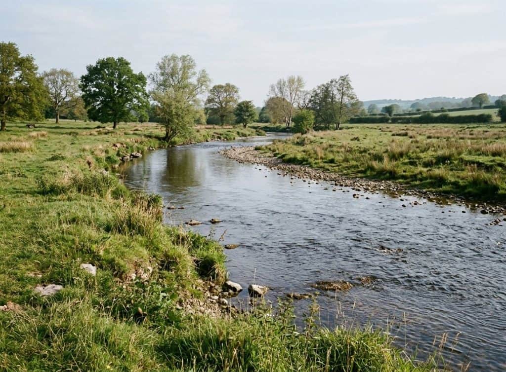
Borders have not always been fixed lines that people could point to on a map. In ancient times groups often settled near water sources or fertile ground and treated the edge of their fields or grazing land as the limit of their reach. A river might serve as a practical divider because crossing it took effort, yet traders and herders still moved back and forth when it suited them.
Medieval rulers measured control more by the villages that paid them taxes or supplied soldiers than by straight lines drawn on paper. A castle on a hill could mark influence over the valley below, but the exact reach might shift after a harvest or a marriage between families. People who lived near these loose edges learned to deal with more than one set of customs or tolls depending on the season.
Agreements that turned rough areas into marked borders
Over time rulers began to put names to pieces of land in written documents. These early treaties listed towns or landmarks instead of using measurements in miles. One side might give up a strip of forest in exchange for rights to a port. The documents rarely reached every village, so local leaders sometimes kept their own ways of settling disputes until a larger army arrived to enforce the new terms.
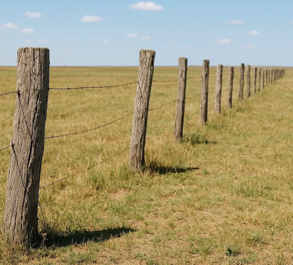
As more such papers accumulated, officials started sending surveyors to walk the ground and plant markers. Farmers on either side of a new marker had to decide whether to accept the change or move their animals. In some places the line cut through a single field, leaving part of the crop under different rules for taxes or inheritance.
Expansion, conflict, and the redrawing of distant lands
When one power sent people to settle far from home, the same practice of marking lines continued but on a larger scale. Ships carried instructions to claim coasts or river mouths, often without asking the groups already living there. The new claims overlapped with older ones, and fighting broke out over access to trade routes or timber stands.
After these fights ended, the winners usually kept the land they had taken and wrote fresh agreements that ignored earlier local arrangements. Families that had moved across what became a new border found themselves dealing with different languages in schools or different rules for selling goods. Some borders stayed quiet for generations while others shifted again after the next round of fighting.
During periods when colonies gained independence, the lines already drawn on maps often stayed in place. New governments used the same markers because changing them risked fresh arguments with neighbors. Villages that had once traded freely across the line now faced checkpoints or different currencies, even when the people on both sides spoke the same language or followed the same customs.
Rules that tried to hold lines steady after large wars
After the middle of the twentieth century, several large meetings produced statements that borders should change only by agreement, not by force. Countries that signed on promised to respect the lines already on the ground, partly to avoid another round of widespread fighting. In practice this meant many lines from earlier colonial periods remained, even where local populations had little say in where they ran.
Officials began to keep records of who crossed and why, using papers that listed names, dates of travel, and reasons for movement. A person who wanted to visit relatives on the other side might need permission that had not existed a few decades earlier. Over time these records grew into systems that tracked daily traffic at road crossings and rail stations.
Some borders saw regular small adjustments when rivers changed course or when two governments swapped small pieces of land to straighten a road. Others stayed fixed for long stretches because neither side wanted to reopen old talks. Travelers learned to carry extra documents and to expect delays at certain points, while trade in everyday goods like grain or cloth continued under whatever rules the current papers allowed.
How daily movement changed under newer systems
People who once crossed a field or a shallow river to reach a market now had to show identification at an office. In some regions this slowed the flow of goods enough that families began to grow more of their own food instead of relying on neighbors. In other places officials set up regular market days where both sides could meet under supervision, keeping some older patterns alive in limited form.
Legislation in many countries added requirements for work permits or residency papers that applied even to short stays. A worker who followed seasonal crops across what had been an open area now needed stamps in a booklet before leaving home. These rules varied from one border to the next, so someone moving along a long frontier might face different checks every few dozen miles.
The result is that lines once treated as suggestions have become places where papers and fees shape ordinary travel and trade. Local stories still recall when the same ground could be crossed without stopping, yet current practice treats each crossing as a matter that needs official notice.